Math Photo: Sky Sectors
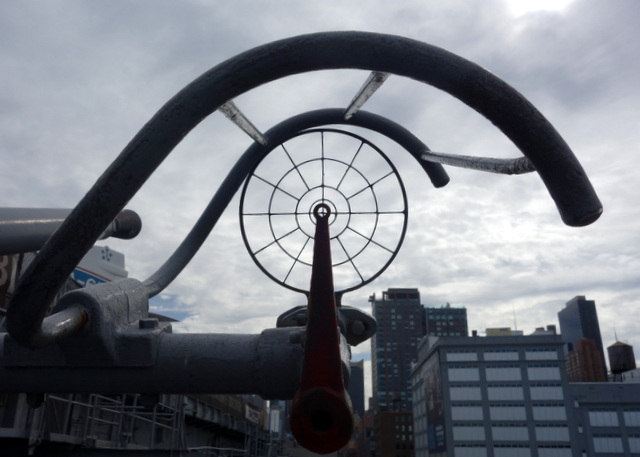
I suppose it makes sense to use polar coordinates to map the sky if you’re an anti-aircraft gunner.
This interesting application of mathematics is brought to you by the USS Intrepid.
I suppose it makes sense to use polar coordinates to map the sky if you’re an anti-aircraft gunner.
This interesting application of mathematics is brought to you by the USS Intrepid.
0 Comments